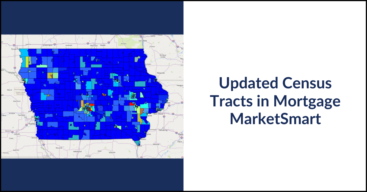
New census data means new census tracts, so every 10 years, there are new boundaries and unique IDs for these geographic identifiers across the U.S. Our partner client iEmergent uses census tracts as the geographic indicator on a lot of their data points, so when census tracts change, our data has to change as well.
Do you have data sources you want to integrate with?
Learn the benefits of custom integrations.
Here’s a look into:
- What census tracts are
- How they change over time
- What it took to align our data with the new boundaries
- Additional work we did to improve our data management processes
Census tracts are geographic entities within counties. For example, here’s a look at census tract boundaries in Black Hawk County, Iowa:
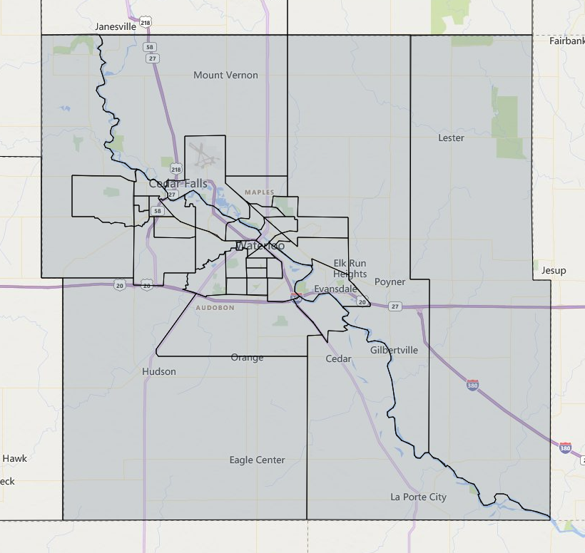
In iEmergent’s mortgage analytics platform, Mortgage MarketSmart, a lot of data is tied to a census tract. iEmergent’s forecasts are from the census tract up to the county, MSA, state, and national levels, and lenders use this data to pinpoint mortgage opportunity in their neighborhoods.
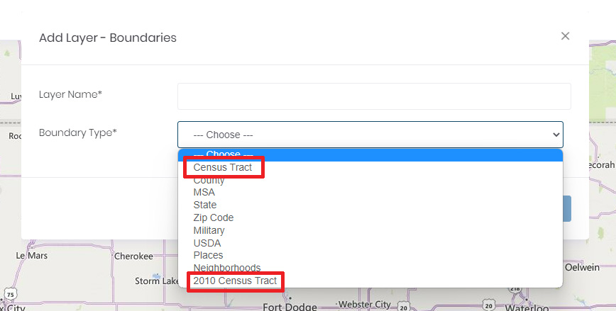
Each census, tracts can change in the following ways:
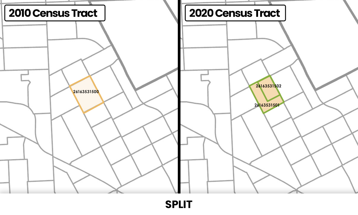
The Census Bureau provides census tract geocoding and relationship files on how 2010 census tracts map to 2020 boundaries.
Data Driven Detroit provided great visuals illustrating how the changes look. For example, when a census tract splits, the map may look like this:
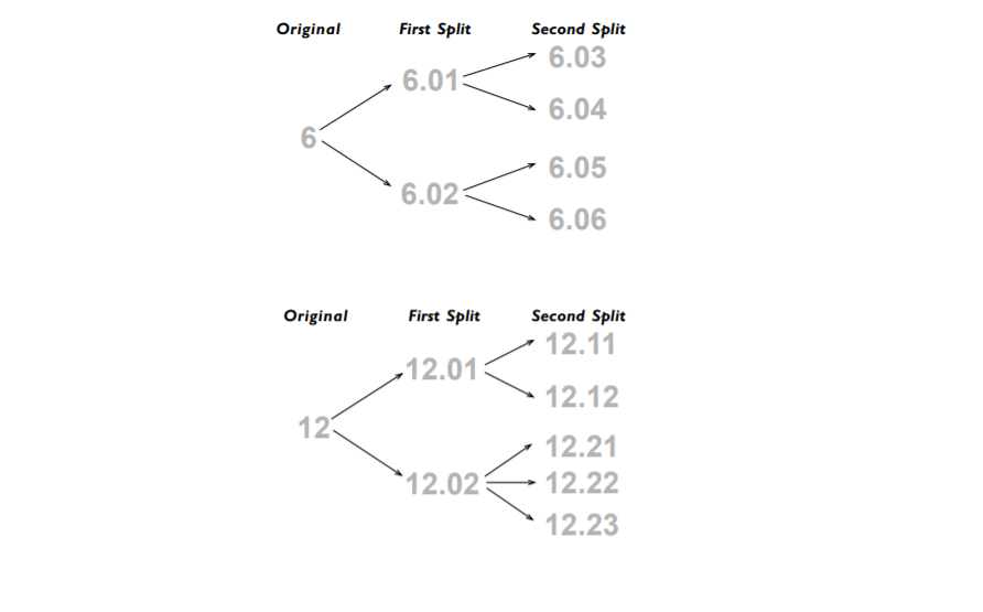
And the numbering change might look like this:
In iEmergent’s database, their Chief Analytics Officer did the heavy lifting to map the 2010 census tracts to these new 2020 tracts and all the data mapping that comes with that. Within Mortgage MarketSmart, the Far Reach team configured the new geocoded boundaries and rolled them out for clients to start using.
The scope of these updates was large, making implementation risky. To reduce this risk, we spent a good deal of time planning and coordinating the rollout. We worked together to build out the changes by dataset, breaking the work down into manageable chunks both from development and data standpoints. The new data structure went fully live in Mortgage MarketSmart in October 2022.
We also maintained data on the 2010 census boundaries within Mortgage MarketSmart. After new boundaries are released, lenders may still want to view their data within old census tract boundaries.
Since the process of updating census tract boundaries took us into the data anyway, we used the opportunity to further improve our data management and maintenance processes. As standalone projects, improvements like this are usually cost-prohibitive, but we combined other data improvements with the census tract changes to gain economies of scale and justify data changes we already had in the backlog. These updates improved performance of the Mortgage MarketSmart system and made backend data maintenance easier for the Far Reach and iEmergent teams. These boundary changes happen every 10 years. By putting in the time now—and paying off a bit of technical debt—the data is structured to make the updates as streamlined as possible, and we have the workflow to deploy geocoding and boundary updates in Mortgage MarketSmart.
In any data-heavy custom software platform, changes like this are bound to happen, so it’s important to structure data in a way that’s pliable.
Do you have a data-driven custom software idea?
Reach out.